


Maritime Delimitation and Territorial Questions Between Qatar and Bahrain: A Comprehensive Analysis for Advocates
Case Concerning Maritime Delimitation and Territorial Questions Between Qatar and Bahrain (Qatar v. Bahrain), ICJ General List No. 87, Merits Judgment of 16 March 2001
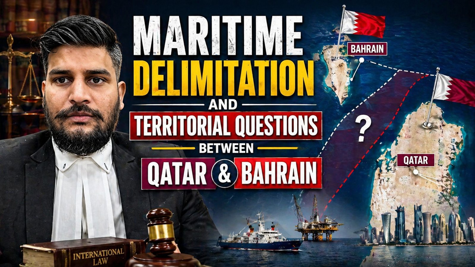
Background and Geopolitical Context
The Persian Gulf is one of the world’s most strategically and economically vital maritime regions, and within its narrow waters, the boundary between Qatar and Bahrain remained one of the most contested and legally complex disputes in modern international law. The case was instituted on 8 July 1991 by Qatar’s unilateral application to the International Court of Justice (ICJ), making it one of the most intricate proceedings ever to come before the World Court — spanning nearly a decade from institution to final judgment.[1]
The genesis of the dispute lay in overlapping historical claims to small islands, low-tide elevations, and coastal strips in the Arabian Gulf, compounded by a colonial legacy of British political administration. Both Qatar and Bahrain had been under British protection and the agreements, decisions, and delimitations made by the British Government in the 19th and early 20th centuries became central exhibits in the litigation. The dispute involved five principal questions: sovereignty over the Hawar Islands, sovereignty over Zubarah (a coastal strip on Qatar’s peninsula), sovereignty over Janan Island, the status of Dibal and Qitat Jaradah shoals, and the drawing of a single maritime boundary separating the two States’ maritime zones.[1]
The Jurisdictional Battle: A Case Within a Case
Before the merits could even be addressed, the Court had to navigate a fiercely contested jurisdictional struggle that produced two separate judgments — a rarity in ICJ practice.
The 1994 Jurisdiction Judgment
The Court’s first judgment on jurisdiction (1 July 1994) addressed whether certain diplomatic correspondence and a jointly signed document could constitute binding international agreements conferring jurisdiction. Specifically, at issue were: (i) exchanges of letters in December 1987 between the King of Saudi Arabia and the Amirs of Qatar and Bahrain, and (ii) the Doha Minutes of 25 December 1990, signed by the Foreign Ministers of all three States.[1]
Bahrain argued that the Doha Minutes were merely a record of a political meeting and not a binding treaty. The Court, by 15 votes to 1, rejected this contention, holding that these instruments were international agreements creating rights and obligations for the parties. The Court applied the classic Vienna Convention principle that a treaty must be read as a whole, in its context and in light of its object and purpose. The sole dissenter, Judge Oda, consistently maintained that the Court lacked jurisdiction throughout the case.[1]
The Court further held, by the same majority, that the parties had undertaken to submit the whole of the dispute to the Court, as circumscribed by the “Bahraini formula” — a text proposed by Bahrain to Qatar on 26 October 1988 and accepted by Qatar in December 1990. Crucially, the Court afforded both parties the opportunity to submit the entire dispute to the Court jointly or separately, setting 30 November 1994 as the time limit.[1]
The 1995 Admissibility Judgment
When Qatar filed a unilateral application on 30 November 1994 rather than a joint one, Bahrain objected strenuously to admissibility. The second jurisdictional judgment (15 February 1995), this time by 10 votes to 5, found that the Court had jurisdiction and that Qatar’s application was admissible. The majority interpreted the Arabic expression al-tarafan (meaning “the two parties”) in the Doha Minutes as permitting either party to seize the Court unilaterally. A strong dissent was registered by Vice-President Schwebel and Judges Oda, Shahabuddeen, and Koroma, along with Judge ad hoc Valticos, who disputed the Court’s interpretation of the Arabic text.[1]
Lesson for advocates: This phase demonstrates that diplomatic minutes, memoranda of understanding, and even informal political communiqués can constitute treaties under international law if they are intended to create binding obligations. Advocates dealing with international agreements must scrutinize the language, context, and subsequent conduct of parties to determine whether a non-treaty instrument has treaty-level legal force.
The Merits: Territorial Sovereignty Questions
The Merits Judgment of 16 March 2001 addressed multiple overlapping sovereignty disputes. The Court was composed under President Guillaume, with Judges ad hoc Torres Bernárdez (for Qatar) and Fortier (for Bahrain).[1]
Zubarah: Qatar Prevails Unanimously
The Court unanimously awarded sovereignty over Zubarah — a peninsula on the northwest coast of Qatar — to Qatar. The legal basis traced back to the Agreements of 6 and 12 September 1868 between the British Government and the Chiefs of Bahrain and Qatar respectively. Bahrain’s claim to Zubarah rested partly on ties of allegiance between the Naim tribe and the Ruler of Bahrain, but the Court found these tribal connections irrelevant to questions of territorial sovereignty between states. The Court also relied on the fact that both the British and the Ottomans had recognized Qatari sovereignty over the area, and that the unratified Anglo-Ottoman Convention of 1913 and the Treaty of 1914 effectively treated Zubarah as Qatari territory. British-mandated acts of authority by the Ruler of Qatar, particularly events in 1937, further consolidated Qatar’s title.[1]
The Hawar Islands: Bahrain Prevails (12–5)
The most politically sensitive and legally complex issue was sovereignty over the Hawar Islands, a group lying between the two states. The Court found, by 12 votes to 5, that Bahrain had sovereignty over the Hawar Islands, based substantially on a British decision of 11 July 1939. The Court examined the nature and legal significance of that decision and found it valid and opposable to Qatar. Both parties had consented to the British adjudication process, and the Court found no procedural violations that would invalidate the decision.[1]
Significantly, the Court declined to examine or rule on theories of original title, geographical proximity, territorial unity, effectivités, or the principle of uti possidetis juris — since the British decision of 1939 was legally sufficient as the determinative basis for sovereignty. However, the Court, in a separate but unanimous finding, recalled that vessels of Qatar enjoy the right of innocent passage through Bahrain’s territorial sea separating the Hawar Islands from the other Bahraini islands — a significant concession to Qatar’s practical navigation interests.[1]
The joint dissenting opinion of Judges Bedjaoui, Ranjeva, and Koroma, along with Judge ad hoc Torres Bernárdez, disputed the validity of the British decision of 1939, arguing it did not have the force of a binding international legal determination.[1]
Janan Island: Qatar Prevails (13–4)
The Court awarded sovereignty over Janan Island (including Hadd Janan) to Qatar by 13 votes to 4, relying on its interpretation of the British decision of 1947 as an authoritative interpretation of the 1939 decision, which had not specifically defined Janan as part of the Hawar Islands. Lists produced by Bahrain in 1936, 1937, 1938, and 1946 were analyzed, and letters sent on 23 December 1947 to the Rulers of both states by the British Government settled the matter in Qatar’s favor.[1]
Qitat Jaradah: Bahrain Prevails (12–5)
The Court awarded sovereignty over the island of Qitat Jaradah to Bahrain. This determination involved careful analysis of whether Qitat Jaradah was an island or a low-tide elevation — a distinction with enormous consequences under the law of the sea. The Court applied the legal definition of an island as “a naturally formed area of land, surrounded by water, which is above water at high tide,” drawn from both the 1958 Convention on the Territorial Sea (Art. 10) and the 1982 UNCLOS (Art. 121). Qatar’s own experts did not maintain that it was scientifically proven to be a low-tide elevation, and the Court concluded Qitat Jaradah satisfied the legal criteria for island status — thus entitling it to generate maritime rights and be taken into account in drawing the equidistance line.[1]
Fasht ad Dibal: Qatar Prevails (Unanimously)
In contrast to Qitat Jaradah, the Court found unanimously that the low-tide elevation of Fasht ad Dibal falls under the sovereignty of Qatar. The Court addressed the general question of appropriation of low-tide elevations, distinguishing between those situated in the territorial sea of only one State and those in the overlapping zone of both States’ territorial seas.[1]
The Maritime Delimitation: Drawing the Single Boundary
Legal Framework
The Court approached the maritime delimitation with methodological rigor. It identified the applicable law as a composite framework: the 1958 Geneva Convention on the Territorial Sea and the Contiguous Zone, the 1982 UNCLOS, and customary international law. Importantly, it recognized that the single maritime boundary it was drawing would serve multiple functions — it would delimit territorial seas in the southern portion (where the coast-to-coast distance nowhere exceeded 24 nautical miles), and would additionally delimit continental shelf and EEZ zones in the northern portion.[1]
The Principle: Terra Dominat Mare
The Court affirmed the foundational principle that “the land dominates the sea” — maritime rights derive from a coastal State’s sovereignty over land. This meant that the Court’s determination of which features were islands versus low-tide elevations, and which State held sovereignty over them, directly fed into the selection of basepoints for constructing the maritime boundary. As the Court stated: “the relevant base points are situated on all those maritime features over which Bahrain has sovereignty”.[1]
The Equidistance–Special Circumstances Method
For the territorial sea delimitation, the Court applied the equidistance/special circumstances rule derived from Article 12 of the 1958 Convention. It provisionally drew an equidistance line and then considered whether special circumstances — such as the location and small size of individual islands — required adjustment.[1]
The concept of a single maritime boundary, the Court confirmed, “does not stem from multilateral treaty law but from State practice” and “finds its explanation in the wish of States to establish one uninterrupted boundary line delimiting the various partially coincident zones of maritime jurisdiction appertaining to them”. This formulation from the Qatar v. Bahrain judgment has since been cited repeatedly — in Land and Maritime Boundary between Cameroon and Nigeria (2002) and Maritime Delimitation between Nicaragua and Honduras in the Caribbean Sea (2007) — as the authoritative statement of the concept’s origin.[1]
Treatment of Islands, Basepoints, and Pearling Banks
In constructing the boundary, the Court took account of a range of geographic and historic features. The pearling banks in the area — historically of great economic importance to both populations — were considered as a relevant circumstance. The Fasht al Jarim maritime feature was also assessed for its effect on the delimitation. The Court determined the baselines and basepoints for each party by reference to their relevant coasts and the maritime features over which sovereignty had been confirmed.[1]
Bahrain’s claim to archipelagic baselines was rejected. The Court confirmed that the waters separating the Hawar Islands from the other Bahraini islands were not internal waters, and Qatar’s right of innocent passage through those waters was specifically preserved.[1]
The final single maritime boundary, with precise coordinates set out at paragraph 250 of the judgment, was decided by 13 votes to 4.[1]
Key Legal Doctrines Established
The Qatar v. Bahrain judgment is not merely of historical interest — it generated precedents that continue to shape international law of the sea:
- International agreements from diplomatic correspondence: Non-treaty instruments, including letters and jointly signed minutes, can bind states if intended to create obligations.[1]
- Island vs. low-tide elevation: The legal status of a maritime feature must be established using scientific evidence assessed against the definitions in UNCLOS and the 1958 Convention.[1]
- Land dominates sea: Sovereignty over terrestrial and island features is the logically prior step before any maritime delimitation can occur.[1]
- Single maritime boundary: The concept is grounded in state practice rather than any specific multilateral treaty and is designed to avoid overlapping and inconsistent maritime boundaries.[1]
- Equidistance as a starting point: The equidistance/special circumstances method was confirmed as the applicable rule for the territorial sea of states with opposite coasts.[1]
- Innocent passage preserved: Even where sovereignty is awarded to one state, the rights of vessels of the neighboring state under customary international law to innocent passage through intervening territorial waters remain intact.[1]
Procedural Insights for Advocates
The case spanned nearly 10 years from institution to final judgment (8 July 1991 to 16 March 2001), with two preliminary objection phases and a complex merits phase. Several procedural features are instructive:[1]
- Document authenticity disputes: Qatar submitted documents that Bahrain challenged as inauthentic. A 1998 Order required Qatar to file an interim report on the authenticity of challenged documents, and a 1999 Order placed on record Qatar’s decision to disregard those challenged documents — a significant procedural concession. Advocates must exercise extreme due diligence in documentary evidence before international courts, as fabricated or doubtful documents can devastate a party’s credibility.[1]
- Fixing the scope of the dispute: The “Bahraini formula” — the agreed text defining the scope of the dispute — became the governing reference for what the Court could adjudicate. Careful drafting of the compromis or agreed formula is crucial.[1]
- Unilateral vs. joint seisin: The case confirmed that where parties have agreed to submit a dispute to the ICJ, a single party may file a unilateral application to seize the Court even without the other’s cooperation, provided the commitment to submit is legally established.[1]
Significance and Legacy
Qatar v. Bahrain remains a landmark judgment in the international law of the sea and territorial sovereignty. It demonstrated the ICJ’s capacity to resolve multi-layered, historically entrenched disputes involving territorial sovereignty and maritime delimitation simultaneously. The judgment has been cited in almost every subsequent maritime delimitation case before the ICJ, including Cameroon v. Nigeria (2002) and Nicaragua v. Honduras (2007), particularly for the concept of the single maritime boundary and the principle that islands regardless of size generate the same maritime rights as other land territory under Article 121(2) of UNCLOS.[1]
For advocates practising in the field of public international law, investment arbitration involving resource-rich maritime zones, or disputes before domestic courts touching on the law of the sea, Qatar v. Bahrain offers a masterclass in the intersection of treaty interpretation, historical title, effectivités, and technical maritime delimitation methodology. The case also shows how colonial-era administrative decisions — in this case British governmental decisions of 1939 and 1947 — can carry determinative legal weight decades later, provided the consent-based legitimacy of those processes can be established.


